Close this alert
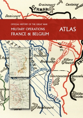
THE OFFICIAL HISTORY OF THE GREAT WAR France and Belgium ATLAS
Current price:
$88.00
Publication Date: May 13th, 2021
Publisher:
Naval & Military Press
ISBN:
9781783319268
Pages:
516
Usually Ships in 1 to 5 Days
Description
A full assembly of the valuable colour and black and white maps that were bound into the celebrated OFFICIAL HISTORY OF THE GREAT WAR and now are extracted to form this Atlas.
From the opening hostilities of 1914 with the German Offensive in Belgium and France, and the beginning of trench warfare, through to the German Spring Offensive of 1918, Allied victory in the summer of 1918 and ultimately finishing post war with Britain's occupation of the Rhineland after the 1918 Armistice, this Atlas is a special record of the 'War To End All Wars'.
The study in close detail of the Great War and its participants is a phenomenon that has grown incrementally since the 1960s and continues to fascinate military historians both amateur and professional alike. This masterpiece of military history/cartography is required reading for all students of the period, allowing the reader to follow the British Army's battles, campaigns and skirmishes during the war.
World War I began as a clash of 20th century technology and 19th century tactics, with the inevitably large ensuing casualties. Artillery underwent a revolution, and the widespread use of chemical warfare was a distinguishing feature of the conflict; trenches, machine guns, air reconnaissance and barbed wire helped bring the battle lines of The Great War to a stalemate. The British and the French both sought a solution with the creation of the tank and mechanised warfare, after the German Hundred Days Offensive, and then followed by the Allied victory, an armistice with Germany was signed and a ceasefire came into effect. This was followed by the allied occupation of the Rhineland.